Documented past case
What the satellites recorded above Blatten.
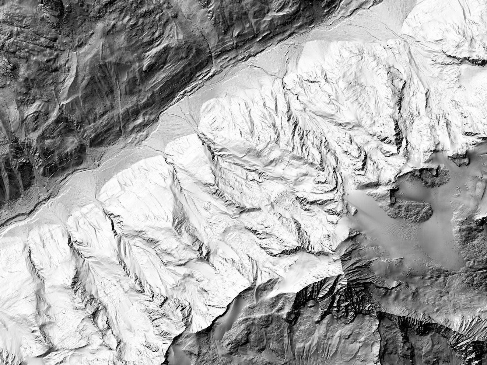
The Kleines Nesthorn and the Birch Glacier, January 2023 to 26 May 2025, computed after the event from public Sentinel-1 radar data.
The raw material next to the result: C-band and L-band radar images and an interferogram beside the movement map.
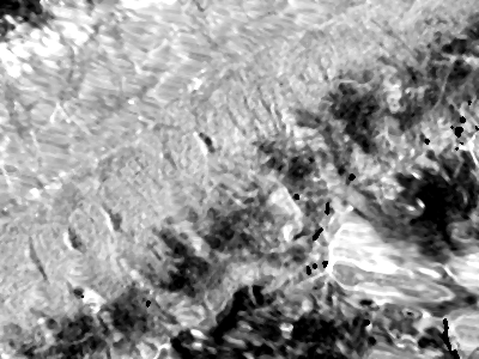
Sentinel-1, C-band radar
Radar brightness of the image of 26 May 2025, two days before the collapse (descending track 139, 20 m). Slopes facing the satellite look compressed and bright: that is how radar sees mountains.
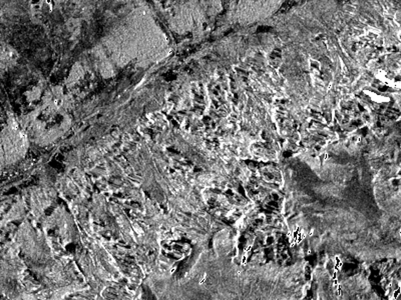
NISAR, L-band radar
Radar brightness of one image taken on 20 September 2026 (descending path 37, 20 m). The longer wavelength keeps a signal over snow and ice. Shown for comparison only.
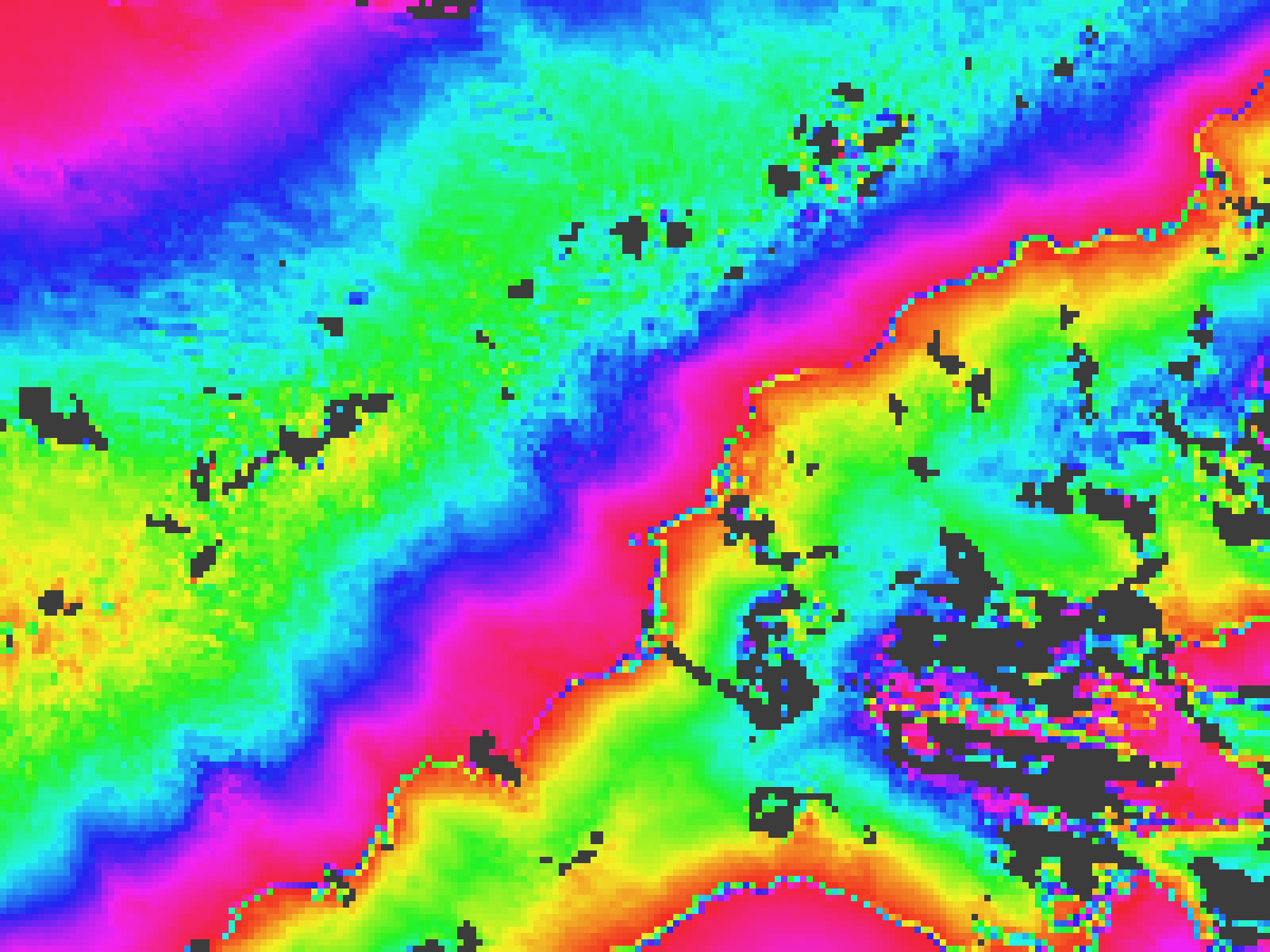
Interferogram
The images of 11 and 23 August 2024 compared: each full colour cycle is 2.8 cm of movement towards or away from the satellite, plus terrain and weather effects. Grey: signal lost.

2025 Q228 May 2025: rock-ice avalanche
- Within its normal range
- Above normal (1.2 to 1.5 times)
- Clearly above normal (1.5 to 2 times)
- Well above normal (2 to 3 times)
- Flagged for expert review (more than 3 times)
- No usable radar signal (snow, ice, shadow)
Documented past case, computed after the event from 149 Sentinel-1 image pairs (track 139, January 2023 to 26 May 2025). Each 640 m unit is compared with its own 2023 rate; a class is shown only when the change is statistically clear and holds for two consecutive quarters. Hatched: no usable signal, which includes the fastest part of the slope. The colours show a change in the rate of movement, never a prediction.
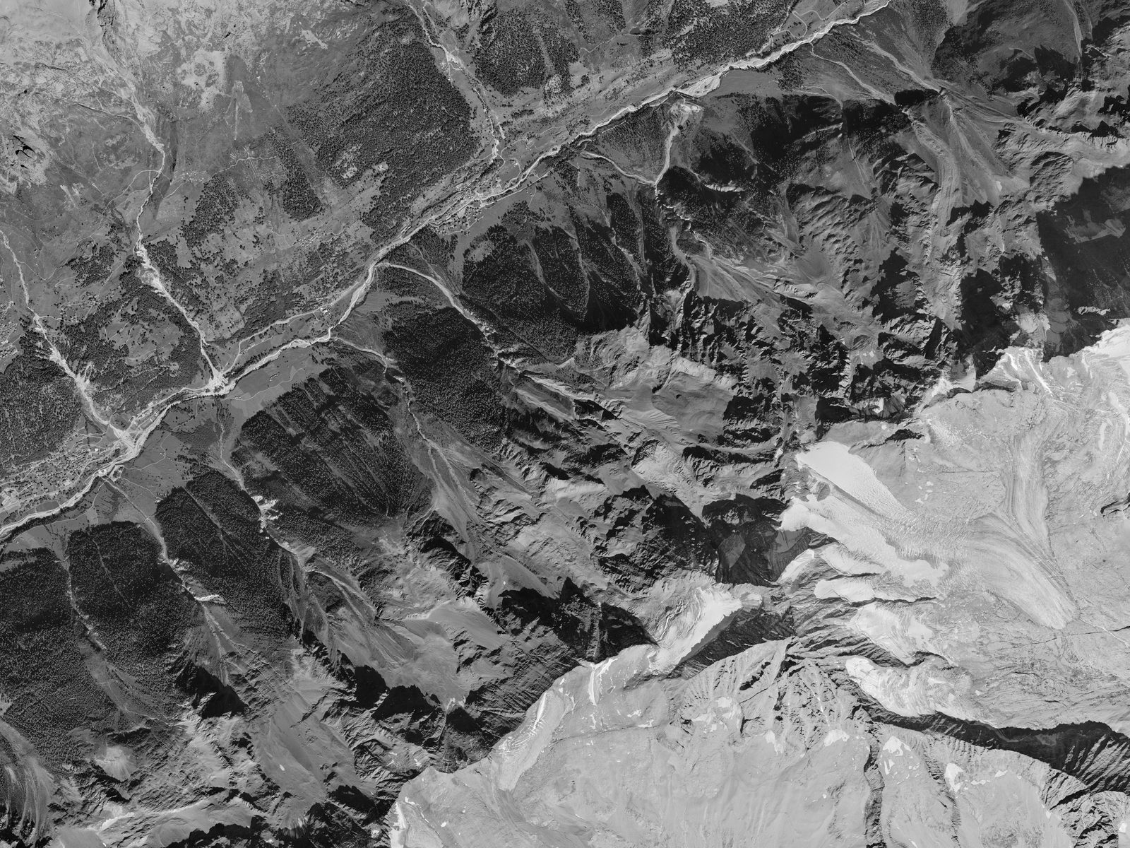
Terrain and aerial image: swisstopo (swissALTI3D, SWISSIMAGE). Radar: contains modified Copernicus Sentinel data 2023 to 2025, processed with ASF HyP3 and MintPy. NISAR data: NASA and ISRO, via ASF.
The evidence behind the flag
What the slope did before 28 May 2025.
Short-wavelength radar loses the fastest part of the slope, and single units are noisy in winter. The part of the slope with a usable signal tells the story on its own: through 2023 and 2024 it stayed within about 10 mm of terrain at the same elevation. Between January and May 2025 it moved about 25 mm further away from the satellite. Published analyses with long-wavelength radar archives, which are not open, saw the slope speeding up from 2016 and reaching more than 150 cm per year by August 2024.
Join the 2027 pilot programme.
Watchberg is preparing pilots with hazard offices and operators in three Swiss cantons. If you are responsible for alpine terrain, request access and we will show you how the dashboard would work for your region.
Pilot programme 2027. In discussion with hazard offices in three cantons.